Return to Genealogy Home Page
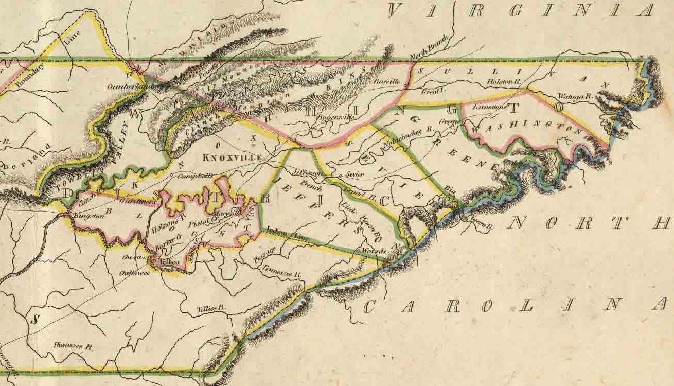
East Tennessee in 1814 . |
I'm not convinced that the 1814 makers of this map didn't makea mistake, but I'm not sure they did, either.Maryville is shown in Blount Co.; Knoxville is shown in Knox Co.; Seveirvilleis shown in Sevier Co.
Yet Jefferson County is show extending from NC to the Holston Rivercompletely separating Sevier Co. from Blount Co.!
In other words, what is today southern Sevier Co. was then JeffersonCo., and what is Jefferson Co. today